Exam practice
GCSE Geography: exam-style questions
Practise your AQA geography GCSE exam skills with free interactive tests based on past papers to boost your understanding of natural hazards, fieldwork and more.

GCSE Geography (AQA): quick-fire questions
Give your geography exam skills a boost with this free interactive quiz based on AQA GCSE geography past papers, complete with detailed feedback.
Living with the physical environment
- Guide Number7 Guides
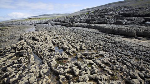
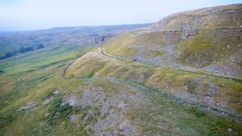
Physical landscapes in the UK - AQA
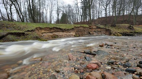
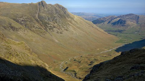
The physical landscape of the UK is varied and includes upland and lowland areas. The landscape has been shaped by glaciation and rivers.
- Guide Number3 Guides
- Guide Number3 Guides
- Guide Number2 Guides
- Guide Number4 Guides
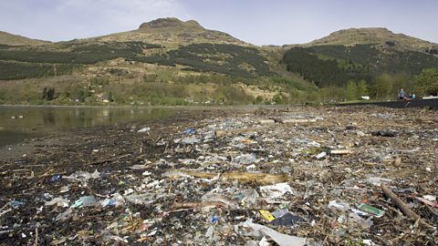
Challenges in the human environment
- Guide Number2 Guides
- Guide Number4 Guides

- Guide Number4 Guides

Geographical skills
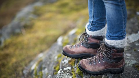
Introduction to fieldwork - AQA
Geography fieldwork involves formulating an enquiry question, gathering data, analysing the results and reaching conclusions. Fieldwork is often written up as a report.
Cartographic skills - AQA
Maps represent the real world. Cartographic means anything relating to the drawing or making of maps. Atlas maps show large areas and Ordnance Survey maps show smaller areas in more detail. Sketch maps, satellite images, photos, GIS maps and geology maps are all useful, too.
Improve your graphical skills - AQA
Graphs, charts and maps can be used to show geographical information. Choosing the correct method of data presentation is important and knowing how to complete a graph is an essential geographical skill.
Numerical and statistical skills - AQA
Data is often used to show geographical information. Being able to use measures of data, make calculations and explore relationships is an essential geographical skill.

Qualitative and quantitative data - AQA
Data can be quantitative or qualitative. When fieldwork data is collected, it can be either primary or secondary.
Links
- External linkExternal link
- External linkExternal link
- External linkExternal link
- SubscriptionSubscription
- External linkExternal link
- External linkExternal link